-
 Introducing HERMESAn Excellent Customizable Autopilot
HERMES-AUTOPILOT
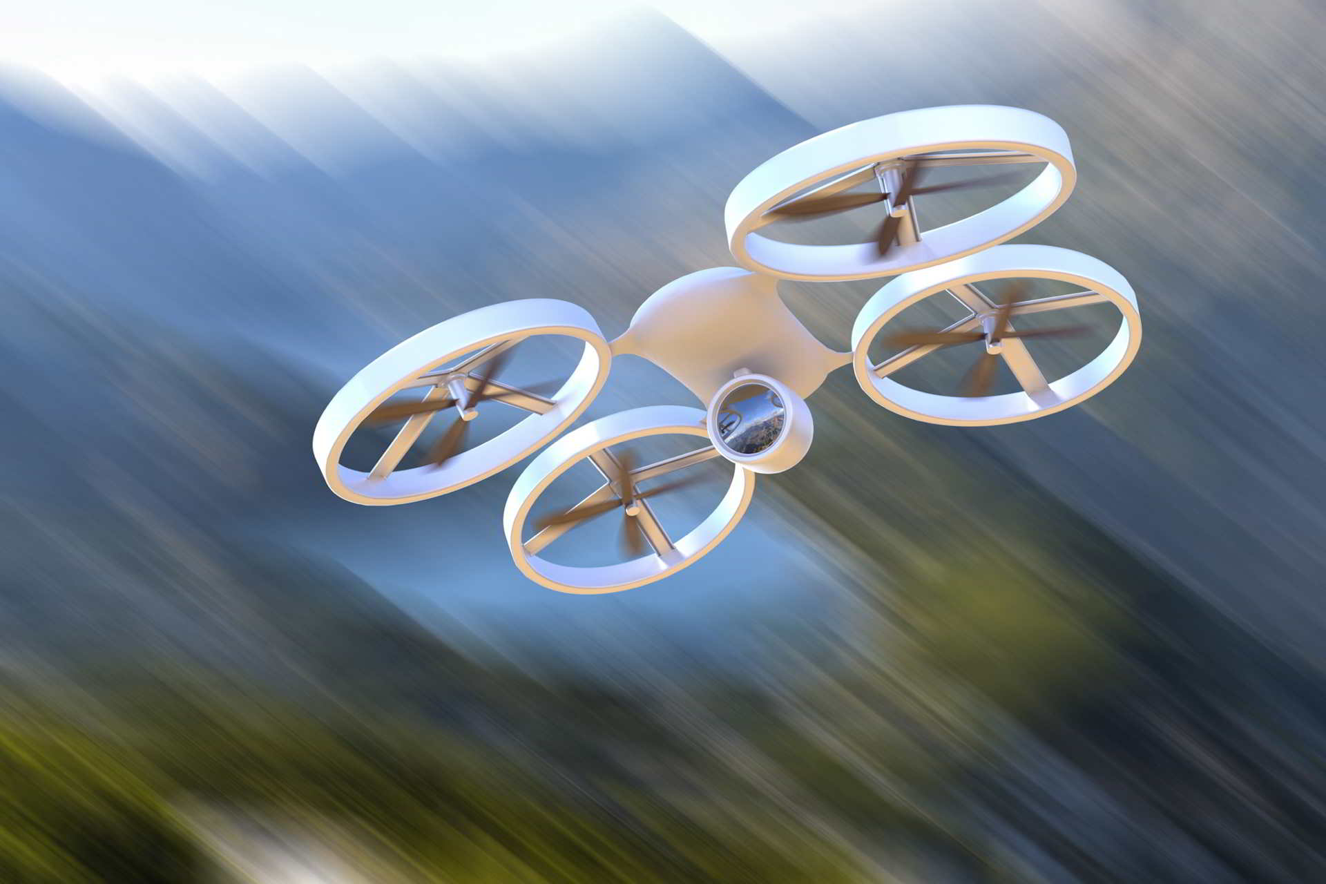
HERMES is the most efficient autopilot in the market, totally customizable and capable of steering a wide range of airframes, since multicopters and fixed wings until flapping wings or zeppelins.
Autopilot can be seen as the brain of an aircraft. The development of technology applied to drones and the creation of a proprietary autopilot is one of our top level corporate research projects.
HERMES is an aircraft control system, suitable for a wide range of aircraft frames. It was developed in cooperation with AvioniCS Control Systems B.V. during their time in the European Space Agency Business Centre.
It is a unique industrial autopilot due to its customization capabilities and high performance, transforming a wide range of aircraft frames; multicopters, fixed wings, flapping wings, helicopters, zeppelins, etc, into unmanned Vehicles.
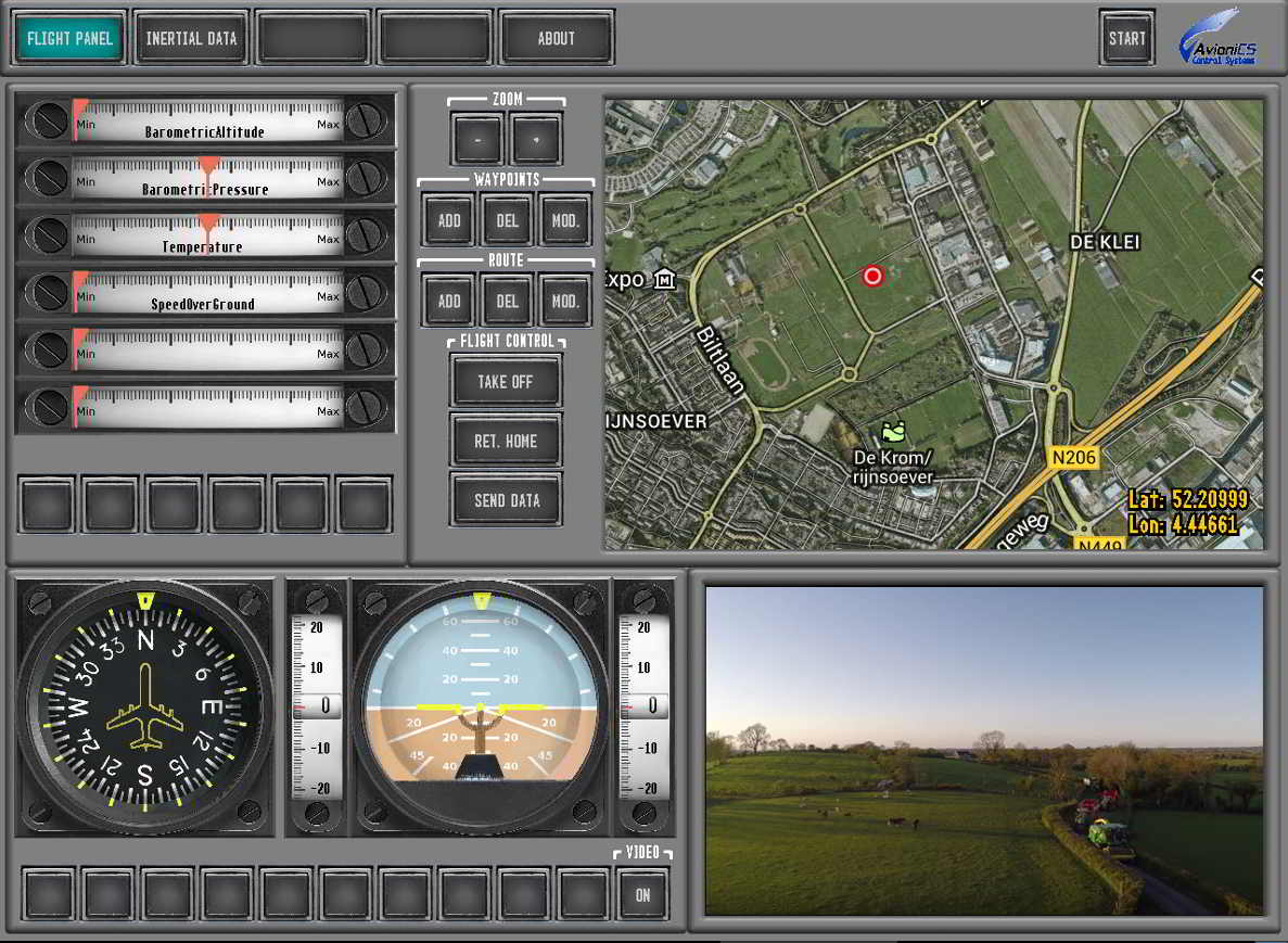
Hermes Autopilot is delivered with a Customized Ground Station Software, developed by us, which can be tailored according with the requirements of the client and his drone. This ensures that the user will keep, in every moment, a total control of the aircraft and will be able to easily plan the flight and have constant reliable data each time that the drone is being flown manually or autonomously.
Specifications
- More than 400Hz control loop speed.
- Accuracy: 0.5º pitch & roll, 1º yaw and 10 cms altitude.
- Auto take-off and landing.
- Several radio solutions for different communication ranges from 2 kms up to 50 kms.
- Completely configurable Ground Station interface and functions.
- Endless waypoints and trajectory modes.
Hermes Features
User friendly and intuitive interface.
Set up a flight plan with waypoints.
Automatic take-off and landing of the aircraft.
‘Go home’ function.
Tailored data interface.
INDUSTRY APPLICATIONS
Surveillance and security
Our technology is applicable in aerial surveillance, such as coastal and maritime surveillance, fire monitoring, and traffic and roads control.
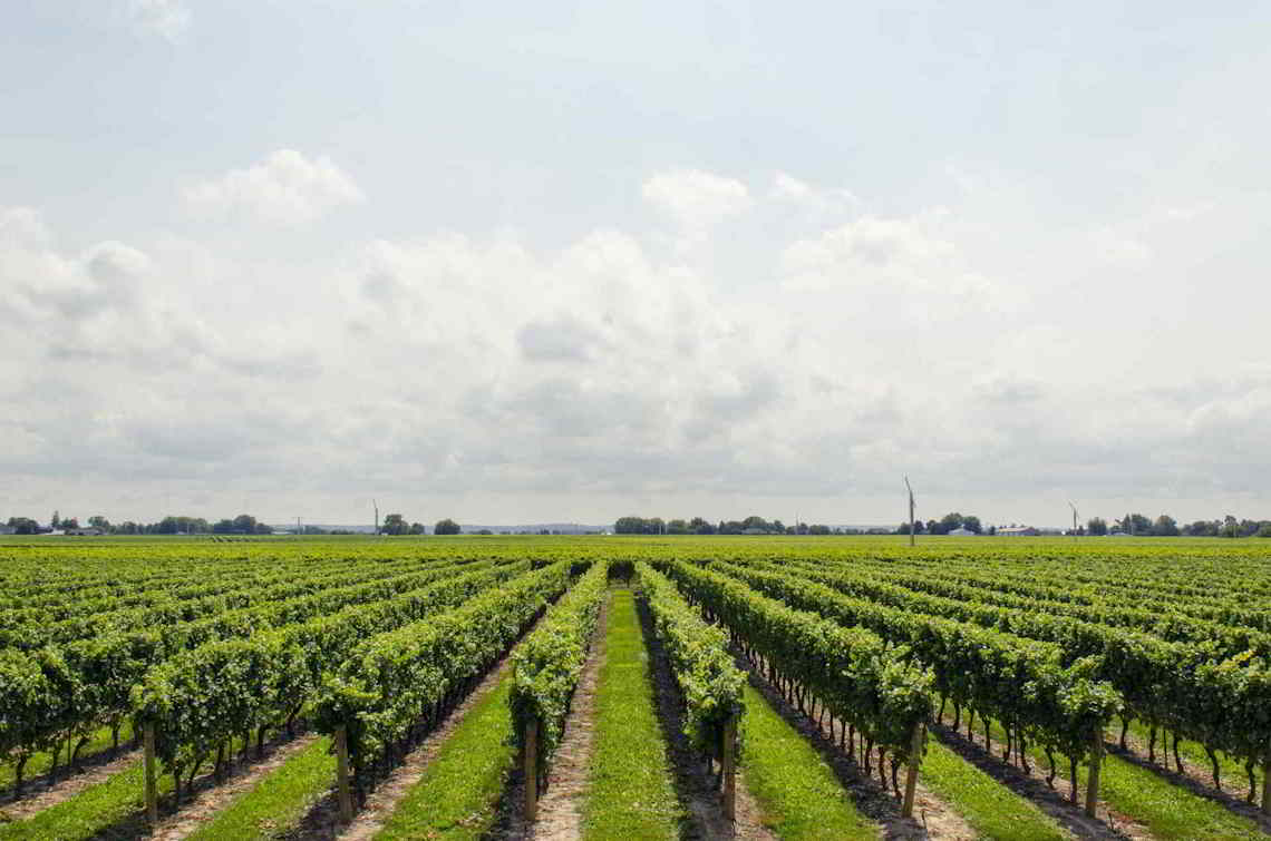
Precision agriculture and forestry
Farmers need to have precise information about their crops in order to get maximum return. By using our services, it is possible to inspect fields automatically, including receiving sensor data that can help you improve your yields.
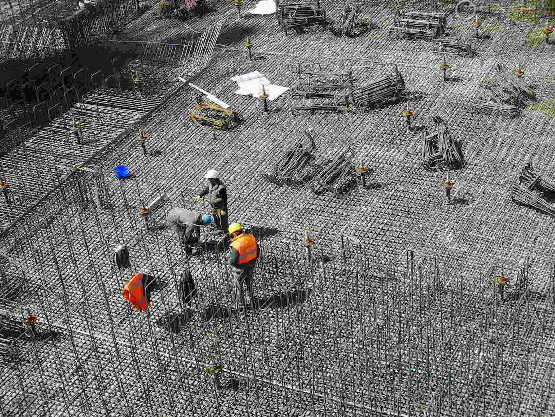
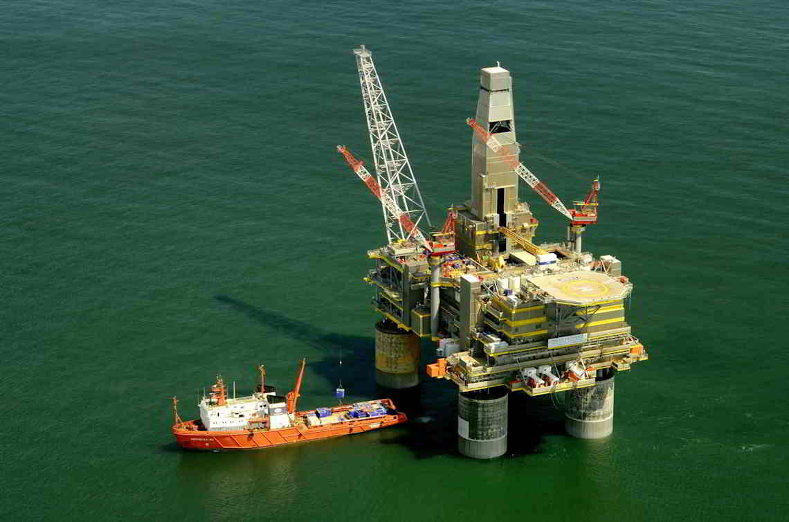
Topography, industrial and public construction
By using unmanned aircraft such as drones, it is possible to get detailed data about land, infrastructures and the industrial net, allowing you to monitor, maintain and inspect these areas effectively.

Aerial video and photography
We offer products and services applicable to a wide range of audio-visual areas such as advertising and events recording.